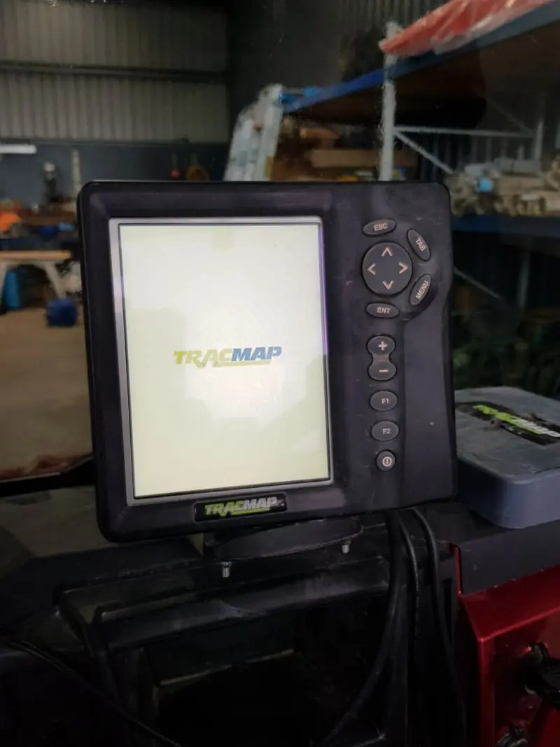
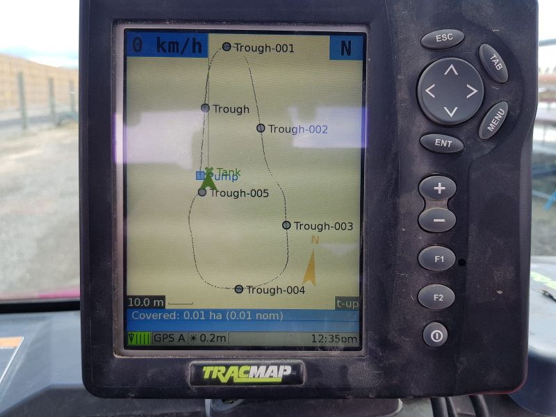
GPS Mapping – Water Services NZ uses GPS Trac Map to locate and help create a detailed water as built map. This will give you a detailed water map with all your water lines, troughs, tanks, and any other features in your water system. The Water Services NZ GPS Trac Map is fitted to a Polaris Ranger, (side by side), so it is portable and able to navigate difficult terrain. We can also use our Trac Map unit to provide you with a full farm map; tracks, fence lines, sheds, etc
Calf Shed Fit Out: Fittings, pipes, troughs and water set up specific to calf rearing
Mineral dosing pumps
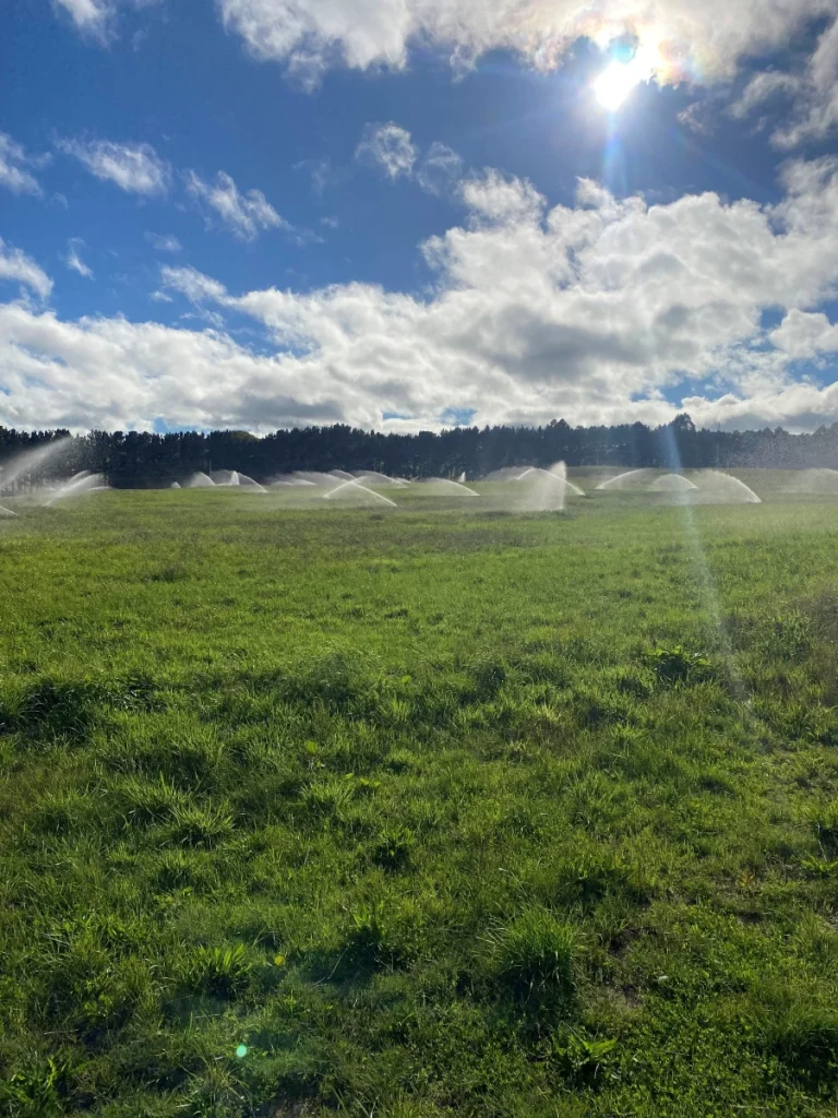
Design and Installation of Irrigation systems of all sizes; from Golf courses, Sports fields and School gardens to major Farm Irrigation Developments
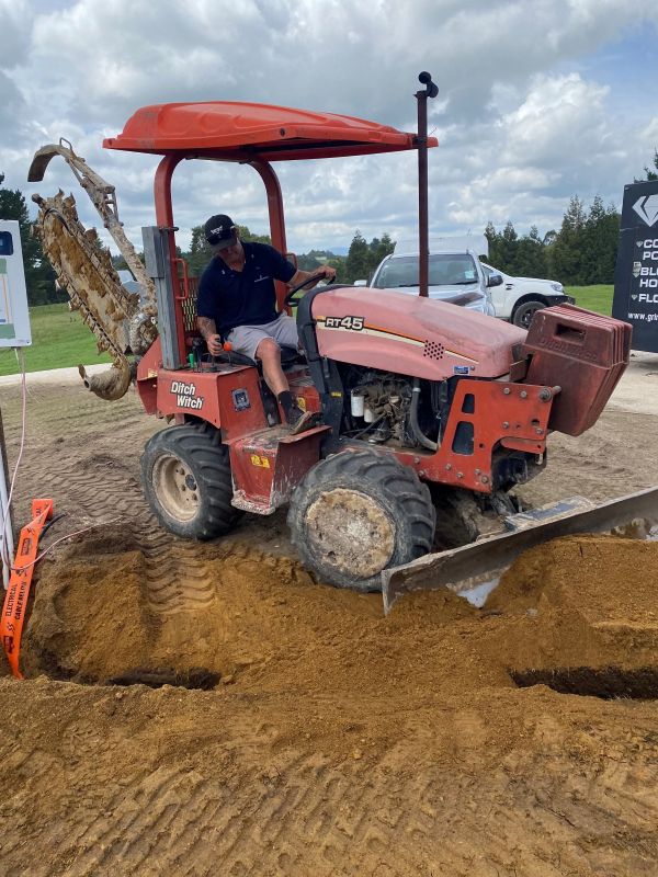
Trenching and installation of Phone and Power cables to house and industrial sections
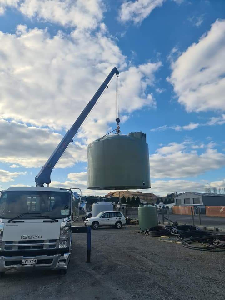
Installation of the water requirements for subdivisions
Whether it’s design, delivery, or compliance—Water Services NZ is ready to partner with you to deliver practical and future-proof water infrastructure.